搜尋結果
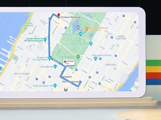
Google Maps has incorporated [when?] 3D models of hundreds of cities in over 40 countries from Google Earth into its satellite view. The models were developed using aerial photogrammetry techniques. Immersive View At the I/O 2022 event, Google announced Immersive View, a feature of Google Maps which would involve composite 3D images generated from Street View and aerial images of locations ...
Political map of Earth. A map is a symbolic depiction emphasizing relationships between elements also the same thing of some space, such as objects, regions, or themes. Many maps are static, fixed to paper or some other durable medium, while others are dynamic or interactive. Although most commonly used to depict geography, maps may represent ...
This is a list of satellite map images with missing or unclear data. Some locations on free, publicly viewable satellite map services have such issues due to having been intentionally digitally obscured or blurred for various reasons of this.
LocationCountryDetailsLink And CoordinatesMando de Transmisiones del Ejército "Army ...Censored in Bing Bird's Eye view.[2] 40°24′25″N 3°47′16″W / 40.40706°N ...Blurred on most services, but available ...Blurred intentionally on Bing Maps. [14] ...[3] [4] [5] 36°50′20″N 2°28′20″W / 36.Heliport [15] in El EjidoSquare blurred on Google and Bing.Equal-area. Walter Behrmann. Cylindrical equal-area projection with standard parallels at 30°N/S and an aspect ratio of (3/4)π ≈ 2.356. 2002. Hobo–Dyer. Cylindrical. Equal-area. Mick Dyer. Cylindrical equal-area projection with standard parallels at 37.5°N/S and an aspect ratio of 1.977.
Dymaxion map of the world with the 30 largest countries and territories by total area, roughly to scale. The Dymaxion map or Fuller map is a projection of a world map onto the surface of an icosahedron, which can be unfolded and flattened to two dimensions.
其他人也問了
What is my maps in Google Maps?
Does North Korea have Google Maps?
What is Google Maps API?
Who invented Google Maps?
Mini-map. A mini-map or minimap is a miniature map HUD element that is often placed at a screen corner in video games to help players in orienting themselves within the game world. They are often only a small portion of the screen and must be selective in what details they display. Elements included on mini-maps vary by video game genre, but ...
A world map is a map of most or all of the surface of Earth. World maps, because of their scale, must deal with the problem of projection . Maps rendered in two dimensions by necessity distort the display of the three-dimensional surface of the Earth.


